Photos

|
Bridger Range, 2022-01-17 A group in the Wolverine Cirque noted several small wet loose avalanches that occurred during recent warm weather. |

|
Lionhead Range, 2022-01-17 Riders in the Lionhead area noted that a layer of feathery surface hoar is continuing to grow. If this gets buried by the next snowstorm it will become a new weak layer. Photo: G Ewsuk |

|
Southern Madison, 2022-01-17 A group at Ernie Miller Ridge had an unstable test score in their second snowpit of the day (1/16/22). Lingering instabilities are isolated but it is an excellent idea to dig down and test the snowpack before getting into avalanche terrain. Photo: T Dumbrovsky |
|
Cooke City, 2022-01-16 We saw surface hoar on all aspects near Cooke City on January 16, 2022. Photo: GNFAC |
|
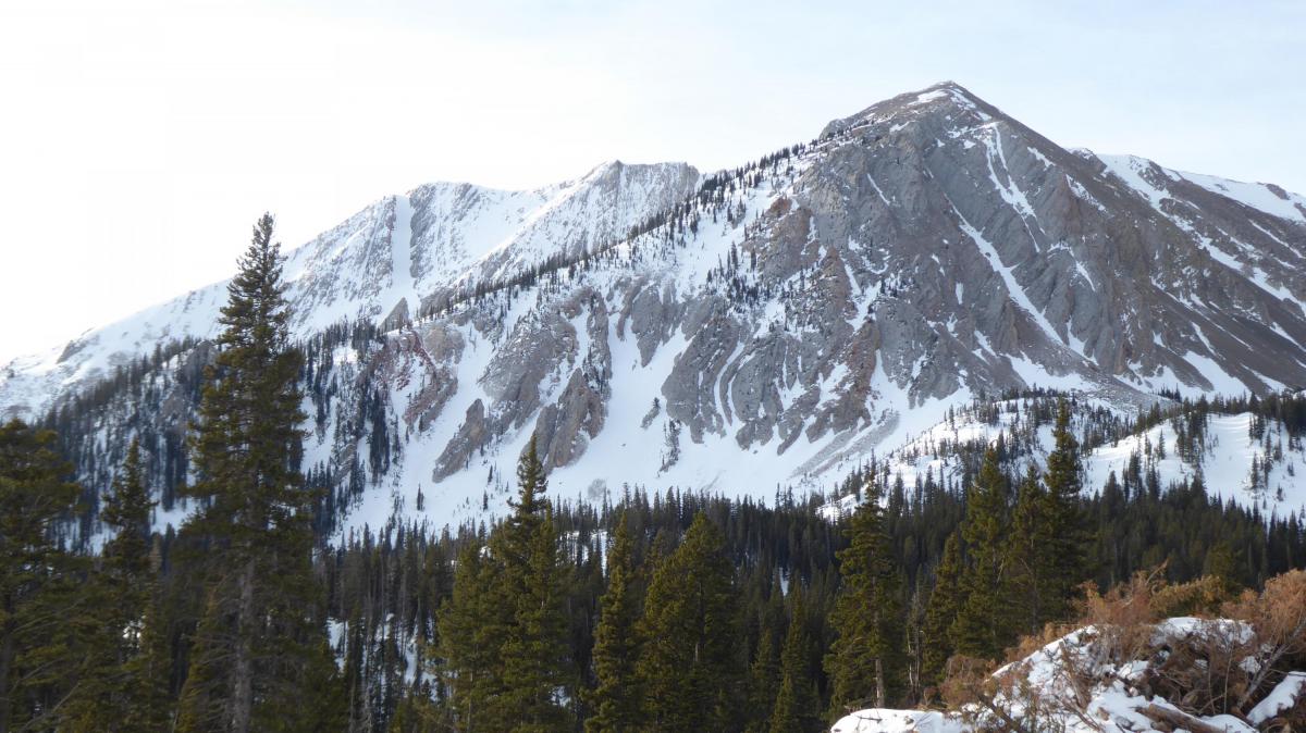
Bridger Range, 2022-01-16 A view of Sacajewea Peak from the Fairy Lake road. Evidence of winds are seen on the right shoulder of the peak. Photo: GNFAC |
|
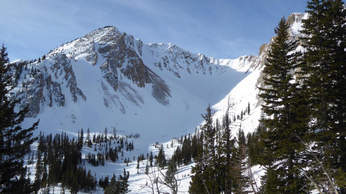
Bridger Range, 2022-01-16 Slopes on Hardscabble Peak in the northern Bridger Range show bare slopes that got blown clean by wind. Photo: GNFAC |
|
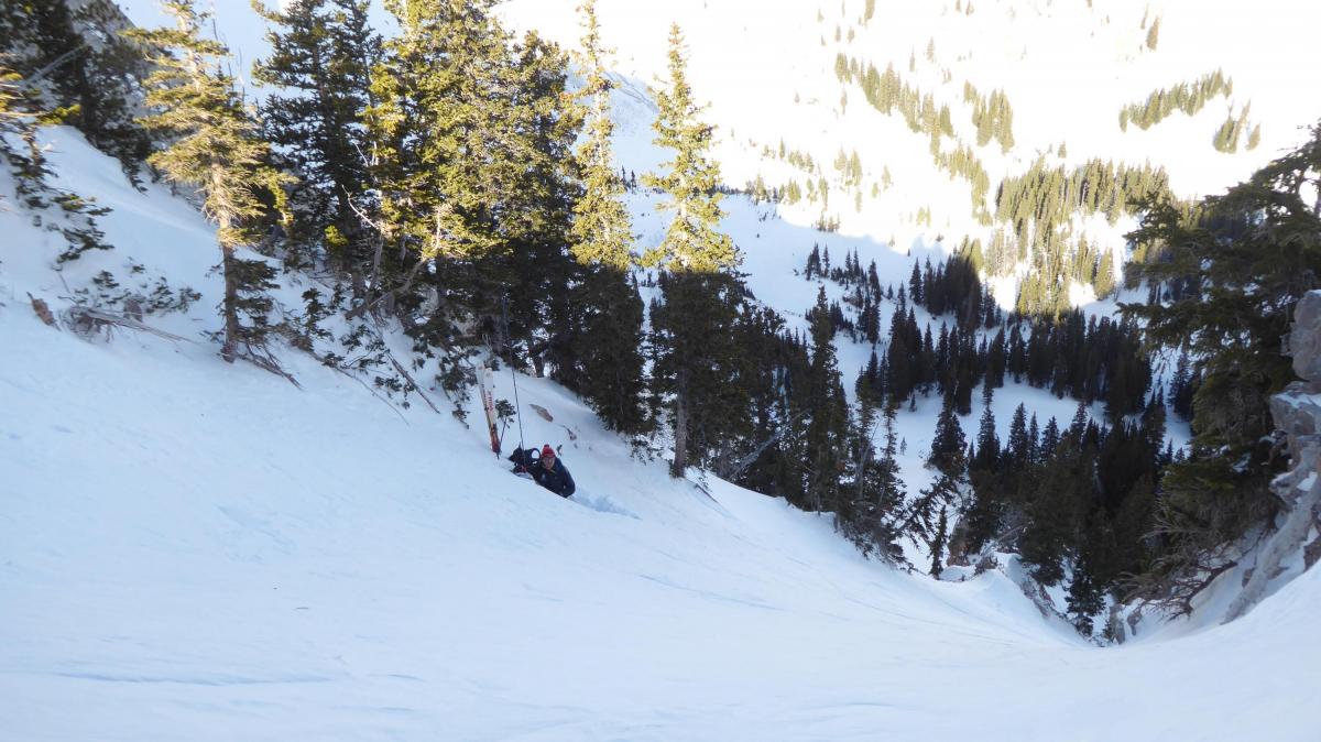
Bridger Range, 2022-01-16 In the northern Bridger Range we dug a pit at 8700 feet on a north facing slope before skiing the chute into the basin. Our stability tests did not break and all evidence pointed to a LOW danger. Photo: GNFAC |

|
Lionhead Range, 2022-01-16 Riders reported on 1/15/22: "Some surface hoar is forming on nearly every aspect at all elevations. over 1 cm thick in some areas." Photo: B. Rasmussen |

|
Lionhead Range, 2022-01-16 Riders reported on 1/15/22: "Some surface hoar is forming on nearly every aspect at all elevations. over 1 cm thick in some areas." Photo: B. Rasmussen |
|
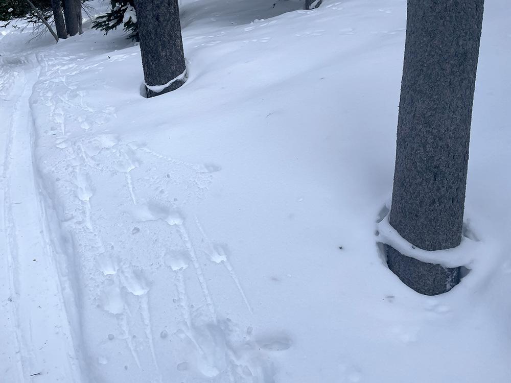
Cooke City, 2022-01-16 Settlement rings around the base of trees near Cooke City, January 15, 2022. Photo: B. Fredlund |

|
Northern Madison, 2022-01-15 Large cornices in 2nd Yellowmule on Buck Ridge. 1/13/22. Photo: GNFAC |

|
Southern Madison, 2022-01-14 Seen 1/14/22, R1-D2 on west aspect at 9,500'. Photo: GNFAC Link to Avalanche Details |

|
Southern Madison, 2022-01-14 Avalanche that is likely 5-7 days old in Sunlight Basin, Taylor Fork, southern Madison Range. Photo taken 1/14/22 by GNFAC Link to Avalanche Details |

|
Southern Madison, 2022-01-14 Avalanche that is likely 5-7 days old in Sunlight Basin, southern Madison Range. Photo taken 1/14/22 by GNFAC Link to Avalanche Details |

|
Southern Madison, 2022-01-14 Avalanche that is likely 5-7 days old in Taylor Fork, southern Madison Range. Photo taken 1/14/22 by GNFAC Link to Avalanche Details |

|
Bridger Range, 2022-01-14 Natural avalanche near Fairy Lake. Observed 1/13/22, likely broke several days prior. Photo: N. Crews |
|
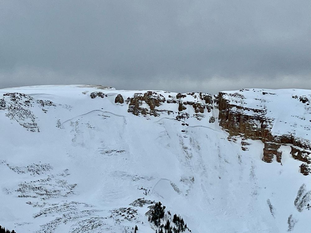
Southern Madison, 2022-01-14 Avalanches on Red Mountain. Photo taken 1/13/22. Likely broke around 1/8/22. Photo: M. Standal Link to Avalanche Details |
|
Cooke City, 2022-01-13 A cornice collapse likely triggered this large natural avalanche on 27 Dec 2021. The crown was 4-6' deep. Photo: S. Culotta Link to Avalanche Details |

|
Southern Madison, 2022-01-13 A group in Cabin Creek saw a very large crown from an avalanche that occurred on the east aspect of Sage Peak last weekend (1/7 or 1/8). Photo: Anonymous Link to Avalanche Details |
|
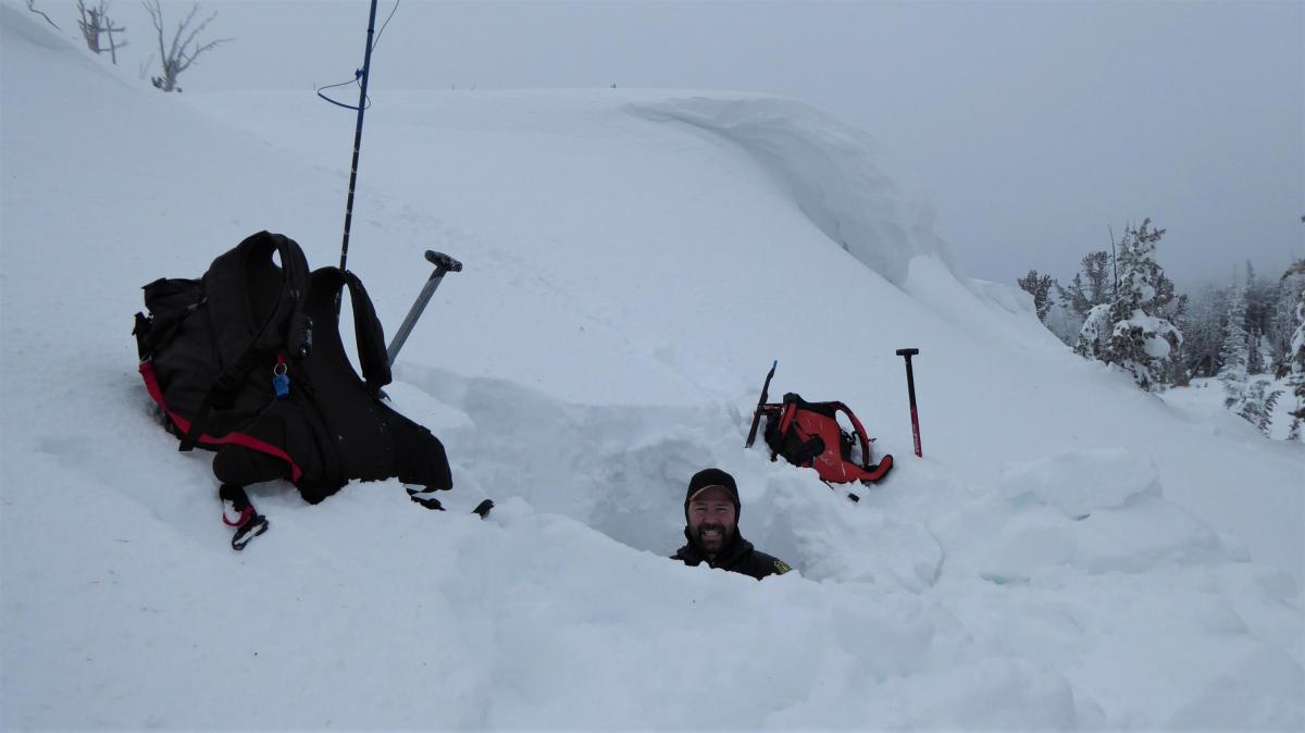
Island Park, 2022-01-12 Ian Hoyer stands in the 7 foot deep snowpit we dug to look at layering and stability. Stability was good. We dug at 9300' off the Sawtelle Peak Road to keep tabs on stability since we put out warnings and basic information for this area on our Trip Planning page. Photo: GNFAC |