Trip Planning for Southern Gallatin

Past 5 Days

None
None
None
None
None
Videos- Southern Gallatin
WebCams
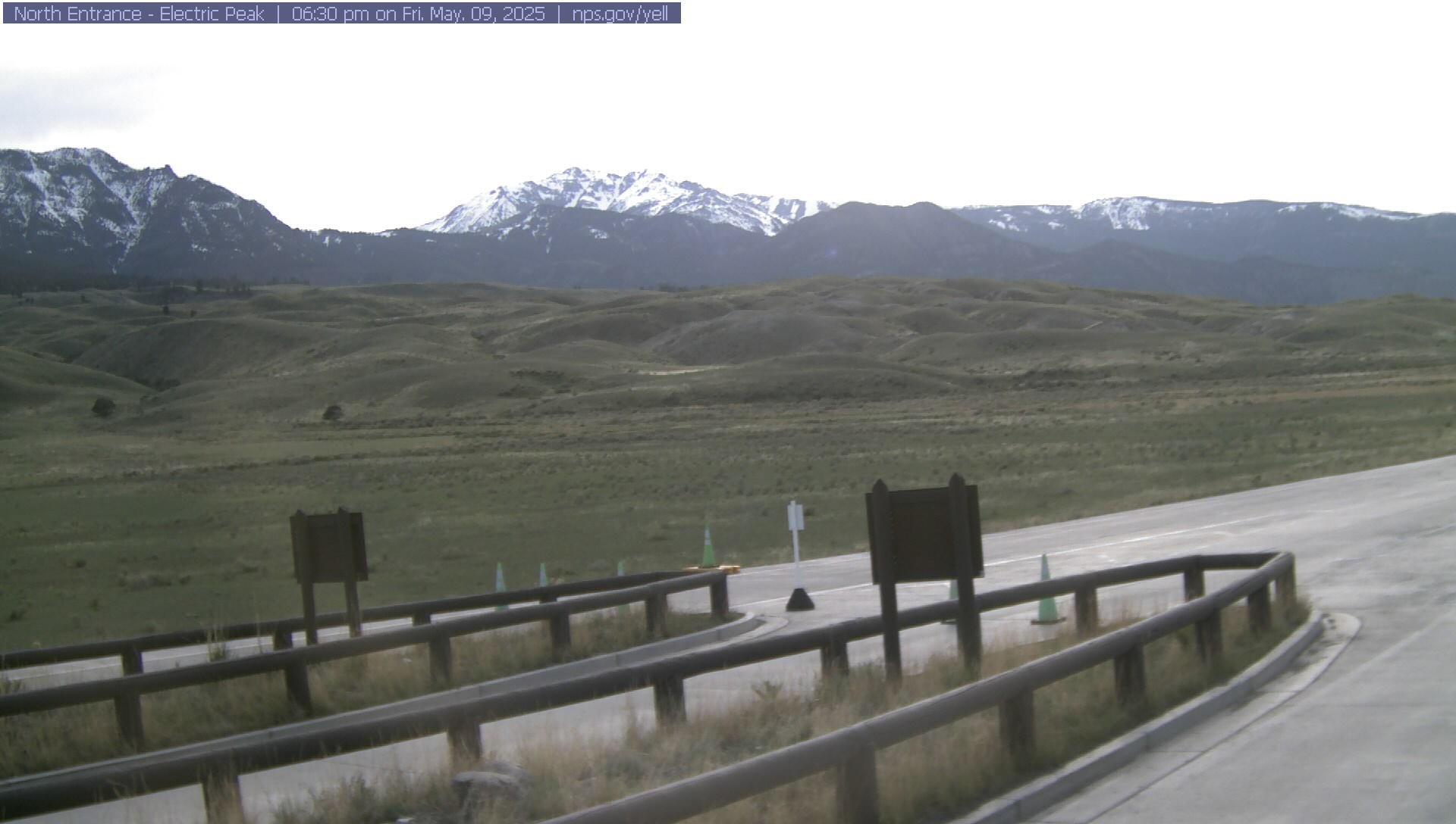
Electric Peak
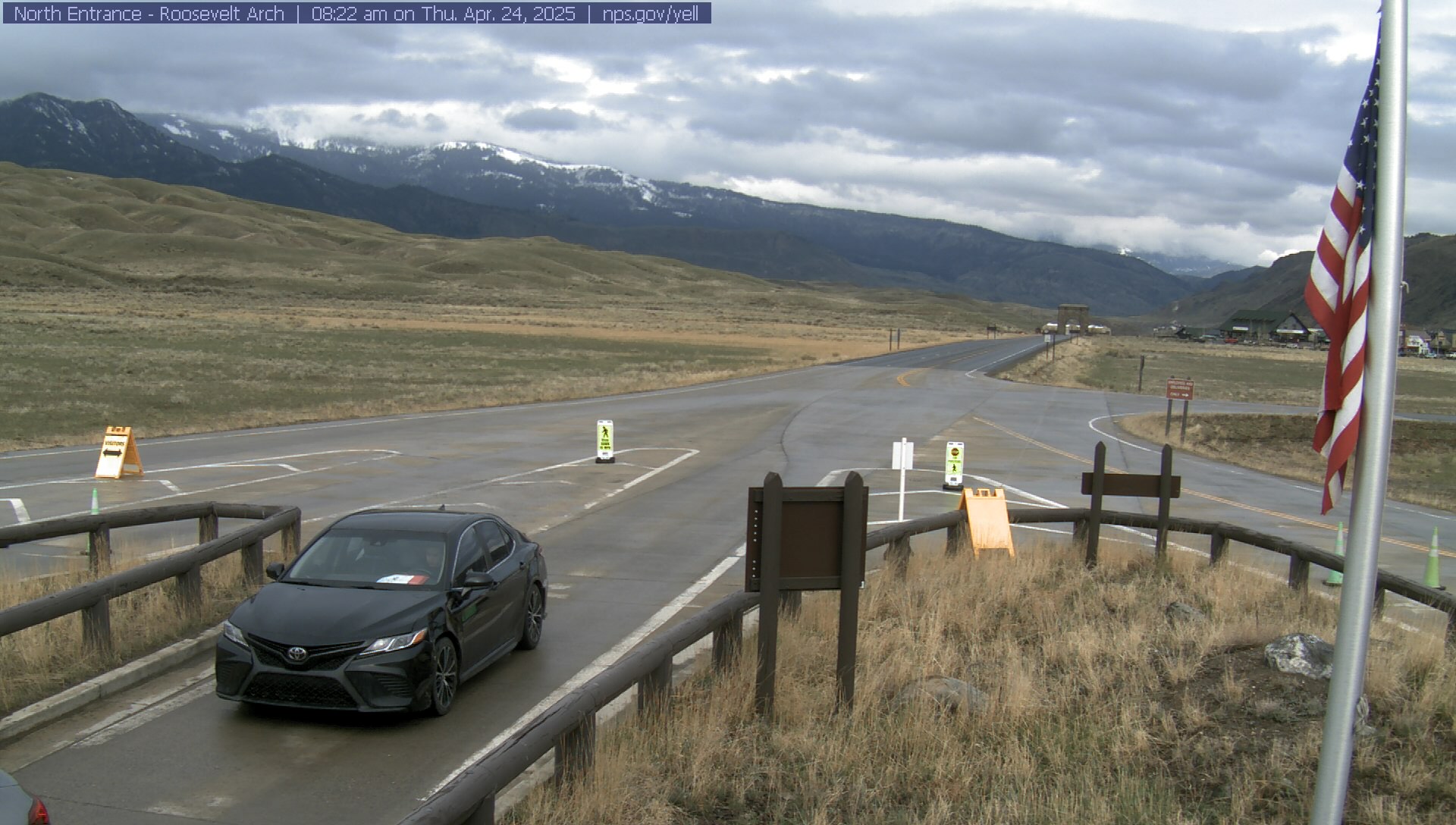
Roosevelt Arch


Weather Stations- Southern Gallatin
Weather Forecast Southern Gallatin
17 Miles SE Big Sky MT
NOW until 5:00am Sat

Winter Storm Warning
Tonight

Low: 24 °F⇑
Snow Showers
and Patchy
Blowing SnowFriday
High: 34 °F
Snow Showers
and Patchy
Blowing SnowFriday Night
Low: 9 °F
Snow Showers
Likely then
Mostly ClearSaturday

High: 23 °F
Sunny
Saturday Night

Low: 14 °F
Partly Cloudy
Sunday

High: 34 °F
Snow Showers
LikelySunday Night

Low: 30 °F
Snow Showers
Likely and
BreezyMonday

High: 37 °F
Snow Showers
and Breezy
The Last Word
Thank you to everyone that sent in observations, read the advisories, took an avalanche class or donated money, time or gear. Our success is directly related to community support and the Forest Service. Have a safe spring and summer! See this article for some general spring travel advice.