Trip Planning for Cooke City Area

as of 5:00 am
Apr 302″ | 15-30 NW
Apr 29 3″ | 10-25 SW
Apr 28 6″ | 10-25 SW
10,000′     07/25 at 02:00
48.3℉
W - 5mph
Gusts 15mph
9100′     05/02 at 19:00
39℉
84″ Depth
Bottom Line: Spring weather can be highly variable and create a mix of avalanche problems to watch out for. Snow conditions and snow stability can change drastically from day to day or hour to hour. Anticipate rapid change and plan accordingly. Plenty of snowfall over the winter with more spring snow to come makes avalanches possible into summer.

Past 5 Days

Mon Apr 18

None
Fri Apr 22

None
Mon Apr 25

None
Fri Apr 29

None
Today

None

Relevant Photos

Videos- Cooke City Area

WebCams


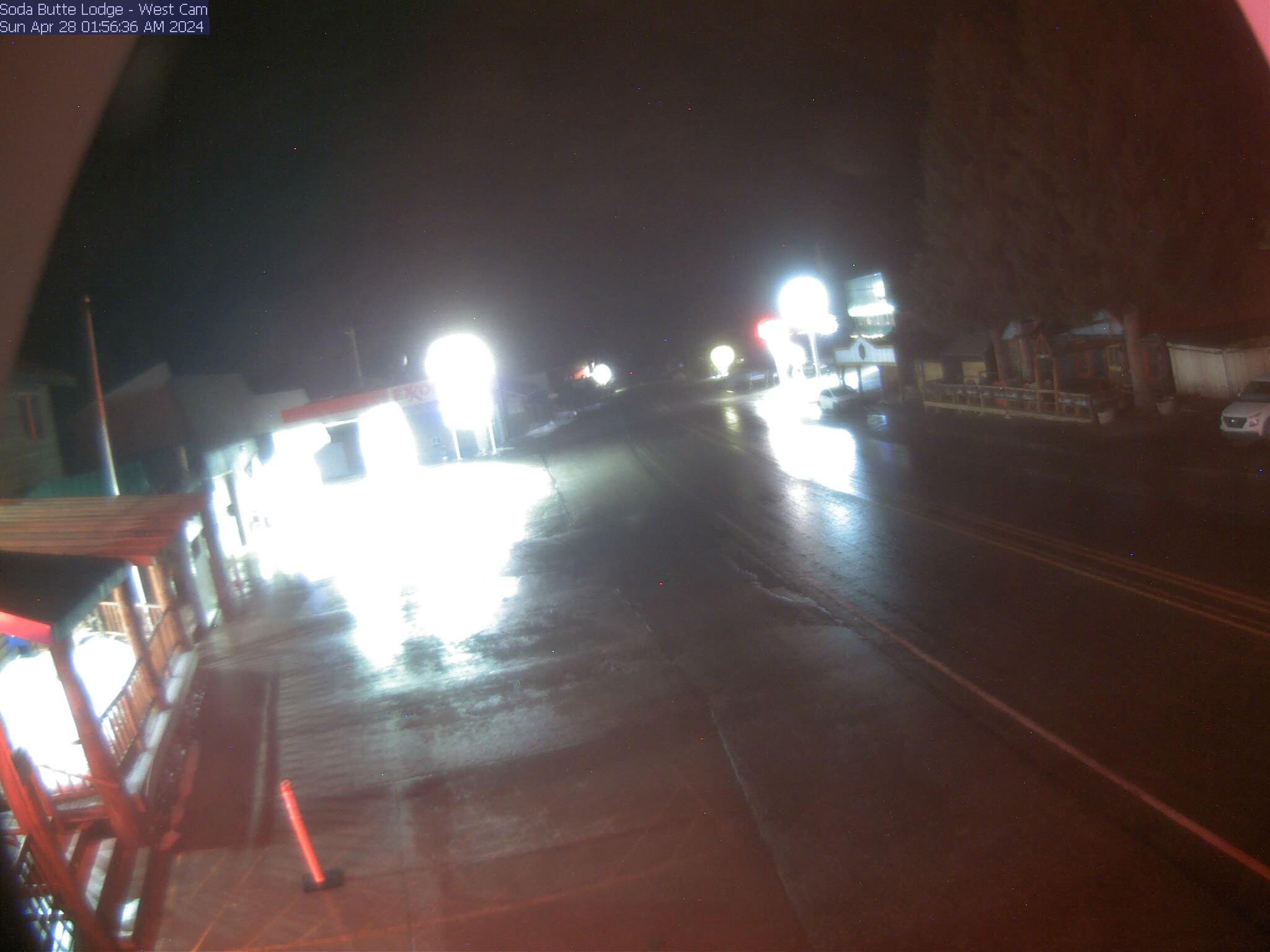
Soda Butte Lodge, looking West

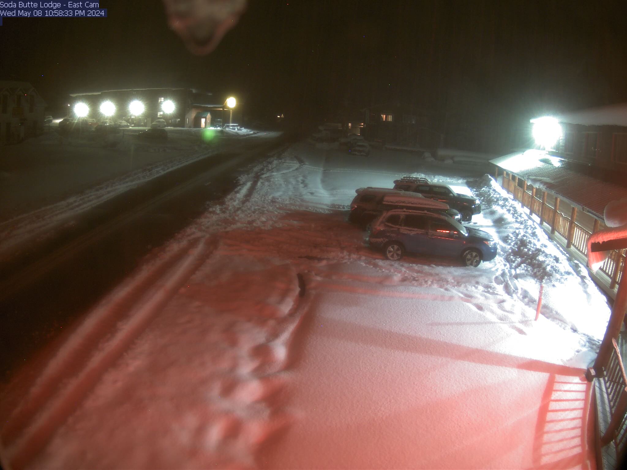
Soda Butte Lodge, looking East

Snowpit Profiles- Cooke City Area


Select a snowpit on the map to view the profile image

Weather Forecast Cooke City Area

Extended Forecast for

2 Miles NNE Cooke City MT

  • Tonight

    Tonight: Clear, with a low around 33. West northwest wind around 6 mph.

    Low: 33 °F

    Clear

  • Saturday

    Saturday: Sunny, with a high near 59. West northwest wind around 6 mph becoming south in the afternoon.

    High: 59 °F

    Sunny

  • Saturday Night

    Saturday Night: Mostly clear, with a low around 35. East southeast wind around 6 mph.

    Low: 35 °F

    Mostly Clear

  • Sunday

    Sunday: A 40 percent chance of showers after noon.  Increasing clouds, with a high near 62. East wind 5 to 9 mph becoming south in the afternoon.

    High: 62 °F

    Sunny then
    Chance
    Showers

  • Sunday Night

    Sunday Night: Rain showers likely before 3am, then a chance of rain and snow showers. Some thunder is also possible.  Mostly cloudy, with a low around 34. East southeast wind around 9 mph becoming northeast after midnight.  Chance of precipitation is 70%. Little or no snow accumulation expected.

    Low: 34 °F

    Showers
    Likely then
    Chance
    Rain/Snow

  • Monday

    Monday: Snow.  High near 44. Northeast wind 9 to 15 mph.  Chance of precipitation is 80%. Little or no snow accumulation expected.

    High: 44 °F

    Snow

  • Monday Night

    Monday Night: Snow likely, mainly before midnight.  Mostly cloudy, with a low around 27. Northeast wind 10 to 15 mph.  Chance of precipitation is 60%. New snow accumulation of less than a half inch possible.

    Low: 27 °F

    Snow Likely

  • Tuesday

    Tuesday: A chance of snow before 3pm, then a slight chance of rain.  Partly sunny, with a high near 47. East northeast wind around 10 mph.  Chance of precipitation is 30%.

    High: 47 °F

    Chance Snow
    then Slight
    Chance
    Rain/Snow

  • Tuesday Night

    Tuesday Night: Mostly clear, with a low around 29. East southeast wind 6 to 9 mph.

    Low: 29 °F

    Mostly Clear

The Last Word

Thank you to everyone that sent in observations, read the advisories, took an avalanche class or donated money, time or gear. Our success is directly related to community support and the Forest Service. Have a safe spring and summer! See this article for some general spring travel advice.

ADvisory SElect Date Block