Photos
|
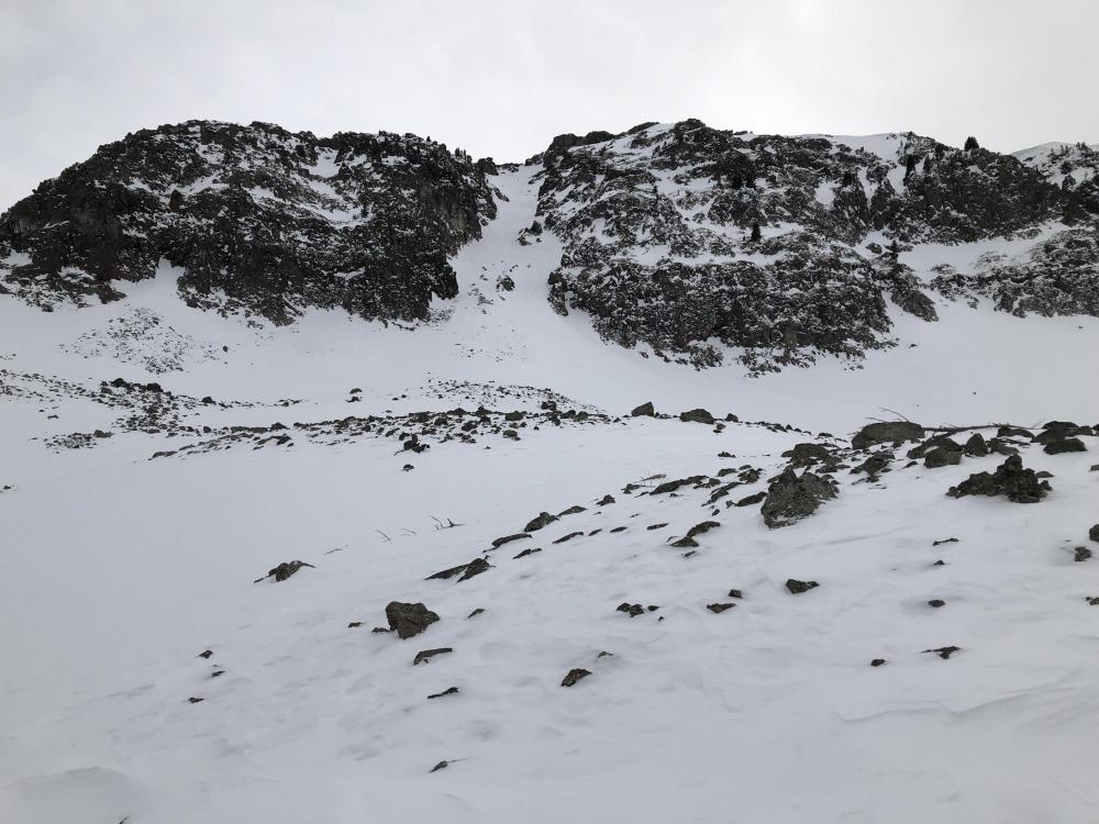
Northern Gallatin, 2022-01-11 Looking up at the Fat Maid from Maid of the Mist basin. Strong winds over the last week have scoured the alpine, exposing lots of rock. Photo: GNFAC |

|
Bridger Range, 2022-01-11 Strong wind over the last week created this surface texture in the Bridger Range. Photo: T. Allen |
|
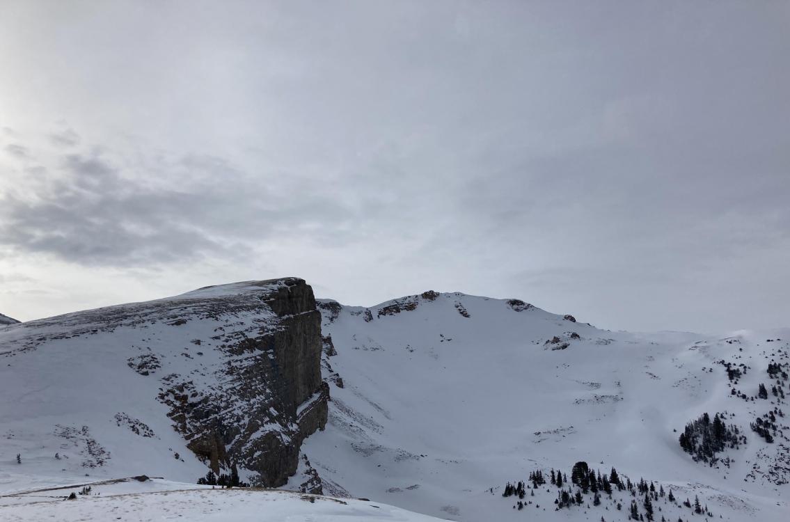
Lionhead Range, 2022-01-11 A wind swept ridgeline at the head of Targhee Creek near Lionhead. 1/11/22. Photo: GNFAC |
|
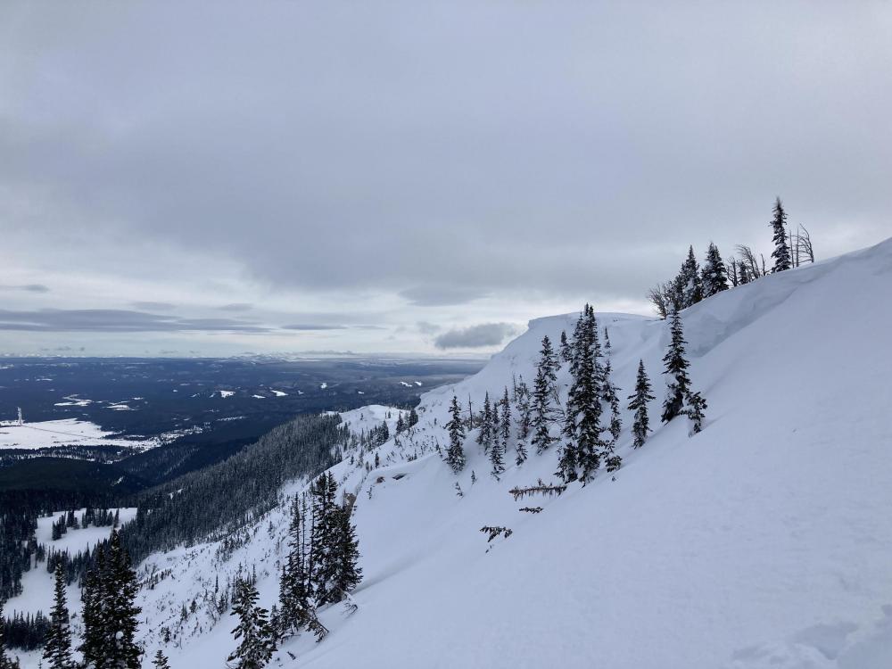
Lionhead Range, 2022-01-11 Cornices along Lionhead Ridge. 1/11/22. Photo: GNFAC |

|
Lionhead Range, 2022-01-11 A layer of near surface facets is buried about a foot down on some slopes near Lionhead. 1/11/22 Photo: GNFAC |

|
Out of Advisory Area, 2022-01-10 From obs 1/10/22: "Saw this recent natural slide, probably a day or two old, while skiing on Emigrant. Start zone approx 10,400ft, E facing. We guessed the crown was 3-5ft deep. Evidence of wind loading on similar surrounding slopes, suggesting wind slab as culprit." Photo: T. Benson Link to Avalanche Details |

|
Northern Madison, 2022-01-10 From email 1/9/22: "Skier triggered cornice failure avalanche. Broke at skis 10-12 feet from the lip. No one caught or injured." Link to Avalanche Details |

|
Northern Madison, 2022-01-10 From email 1/9/22: "Skier triggered cornice failure avalanche. Broke at skis 10-12 feet from the lip. No one caught or injured." Link to Avalanche Details |

|
Northern Madison, 2022-01-10 From email 1/9/22: "Skier triggered cornice failure avalanche. Broke at skis 10-12 feet from the lip. No one caught or injured." Link to Avalanche Details |
|
Northern Madison, 2022-01-10 Photo from Crunchy the blue heeler (@crunchy_adventures) From email 1/9/22: "Skier triggered cornice failure avalanche. Broke at skis 10-12 feet from the lip. No one caught or injured." Link to Avalanche Details |
|
Northern Madison, 2022-01-09 It was easy to crack the thin wind slabs that formed from strong wind the last 2 days. They were not propagating, but cracking indicated potential instability on wind drifts. Photo: GNFAC |
|
Northern Gallatin, 2022-01-09 Strong wind in the previous 2 days sculpted the snow surface into waves of sastrugi. Photo: GNFAC |
|
Northern Madison, 2022-01-09 Wind in the last 2 days gusted 45-70 mph and stripped some starting zones down to dirt in Beehive Basin. Photo: GNFAC |

|
Cooke City, 2022-01-09 From obs: 1/8/22: "...One minor avalanche observed in Republic Creek. It was on a steep and rocky E, NE aspect around 9700'..." Photo: B. Fredlund Link to Avalanche Details |

|
Cooke City, 2022-01-09 From obs: 1/8/22: "Observed natural north Scotch Bonnet". Ran during storm 1/6-1/8. Photo: D. Wycoff Link to Avalanche Details |

|
Dillon Area, 2022-01-08 Naturally triggered Avalanche on North North East aspect. Heavy wind loading evident. The slide appeared to be recent, 24 to 48 hours old.
|
|
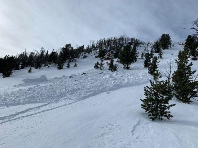
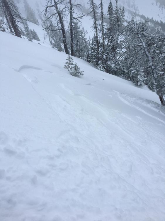
Lionhead Range, 2022-01-07 Small natural storm slab avalanche seen near Lionhead. 1/6/22. Photo: C. Leonard |
|
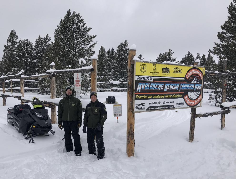
Lionhead Range, 2022-01-07 The West Yellowstone Beacon Park is up and running for the season! Photo: J. Norlander (1/6/22) |
|
Bridger Range, 2022-01-07 A small skier triggered storm slab on the west side of the Bridgers. 1/6/22 Photo: P. Hinz Link to Avalanche Details |

|
Bridger Range, 2022-01-07 From email (1/6/22): "Skied the Throne today. New snow instabilities. Higher density snow falling on colder snow. Saw a hand full of naturals all running on the new snow old snow interface." Photo: E. Knoff Link to Avalanche Details |